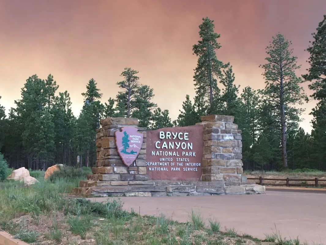
Bryce Canyon is not technically a canyon. It's a series of natural amphitheaters carved into the edge of the Paunsaugunt Plateau in southern Utah, filled with thousands of spire-shaped rock formations called hoodoos — pillars of orange, red, and white limestone that have been sculpted by rain, ice, and time into shapes that look like an army of frozen figures emerging from the earth. The first time you stand at the rim and look down, you will almost certainly say something out loud. It's that kind of place.
Entry Fees and the America the Beautiful Pass
Bryce Canyon National Park charges $35 per vehicle for a 7-day pass. For a solo visitor on a motorcycle it's $20, and individual entry is $20. If you're planning to visit multiple national parks on your trip — and if you're in southern Utah, you almost certainly will be — the America the Beautiful Annual Pass at $80 is one of the best deals in American travel. It covers entry for you and all passengers in your vehicle at more than 2,000 federal recreation sites for a full year.
In Utah's canyon country, one pass covers Bryce Canyon, Zion, Capitol Reef, Arches, Canyonlands, and Grand Staircase-Escalante National Monument. If you visit even two of the major Utah parks, the pass pays for itself. Buy it at the first park entrance you visit or in advance at recreation.gov.
The Hoodoos — What They Are and How They Form
Hoodoos are tall, thin pillars of rock with a cap of harder stone on top that protects the softer rock below from erosion. At Bryce Canyon, the geological story involves three key ingredients: limestone layers with varying hardness, water, and freeze-thaw cycles.
The Paunsaugunt Plateau sits at 8,000–9,000 feet elevation — high enough that temperatures regularly cross the freezing point more than 200 times per year. Water seeps into cracks in the limestone, freezes, expands, and gradually widens those cracks. Over thousands of years, this process breaks down the rock into the intricate fins and spires you see today. The different colors correspond to different mineral contents in each limestone layer — iron oxides produce the reds and oranges, while purer limestone is white or cream.
Bryce Canyon has the highest concentration of hoodoos of any place on earth. Looking out across the main Bryce Amphitheater, you're seeing the result of roughly 50 million years of deposition and a few million years of erosion. The process is still ongoing — Bryce loses about 2–4 feet of rim per century as erosion continues.
Best Viewpoints — What to See First
The park road follows the rim for about 18 miles south from the visitor center, with numerous overlooks along the way. The three most essential viewpoints are all within a 10-minute walk of main parking areas:
Sunrise Point
Despite the name, Sunrise Point faces west and actually gets gorgeous morning light reflecting off the amphitheater walls. It's the northern anchor of the main Bryce Amphitheater and the starting point for the Navajo Loop and Queen's Garden trails. The view here encompasses thousands of hoodoos with Thor's Hammer (a famous individual hoodoo) prominently visible below.
Sunset Point
Located about 0.5 miles south of Sunrise Point along the rim trail, Sunset Point offers a broader view of the full amphitheater. Thor's Hammer is visible from a different angle here, and the trail down into Wall Street (a narrow section of the Navajo Loop) begins from this overlook. Best light is late afternoon.
Inspiration Point
About a mile south of Sunset Point, Inspiration Point is elevated above the main amphitheater and offers the most expansive aerial view of the entire hoodoo forest. From here you can see the full scale of the Silent City — a dense cluster of thousands of hoodoos stretching across the basin. Many photographers consider this the single best photo location in the park.
Best Hikes — Get Down Among the Hoodoos
The rim viewpoints are spectacular, but descending into the amphitheater and walking among the hoodoos is an entirely different and more immersive experience. The scale becomes apparent only when you're standing at their base looking up.
Navajo Loop Trail (1.3 miles, moderate)
This is the single best hike in the park for the amount of effort required. Starting from Sunset Point, the trail switchbacks steeply down into the canyon (about 550 feet of elevation loss), passes through the narrow "Wall Street" section — a slot canyon-like passage between towering hoodoo walls — and loops back up. The entire hike takes 1–1.5 hours and puts you directly beneath hoodoos that tower 150 feet overhead. Note: "moderate" means genuinely steep switchbacks, and the climb back out is strenuous at altitude. Take your time.
Queen's Garden Trail (1.8 miles, moderate)
Starting from Sunrise Point, this trail descends more gradually than the Navajo Loop and winds through a fairy-tale section of hoodoo formations to the Queen Victoria formation — a hoodoo said to resemble the queen's profile. Combines beautifully with the Navajo Loop as an out-and-back or loop (2.9 miles total combined).
Rim Trail (easy, up to 11 miles total)
The Rim Trail follows the canyon edge between all the major viewpoints. The section between Sunrise and Sunset Points (0.5 miles) is paved and flat, making it accessible for most visitors. Walking the full rim trail is an excellent way to see the park if you don't want to descend into the canyon.
Stargazing, the Free Shuttle, and Budget Accommodation
Stargazing
Bryce Canyon is designated an International Dark Sky Park and has some of the darkest, clearest skies in the continental United States. On a clear night, the Milky Way is visible as a glowing band across the sky, and estimates suggest you can see up to 7,500 stars with the naked eye. The park offers free ranger-led astronomy programs on select evenings from spring through fall — check the schedule at the visitor center. Even without the programs, simply stepping outside after dark anywhere in the park delivers an extraordinary sky show at no cost.
Free Shuttle System
From approximately late April through October, Bryce Canyon operates a free shuttle system that runs from the park-and-ride area at Ruby's Inn (just outside the park entrance) to all major viewpoints and trailheads inside the park. Using the shuttle eliminates the parking headache entirely — park once at Ruby's Inn and shuttle to everything. This is strongly recommended on summer weekends when viewpoint parking lots fill by 9 AM.
Budget Accommodation
- North Campground (inside park): ~$20/night — reservations through recreation.gov, open spring through fall, walking distance to the rim. Book as early as possible; it fills months in advance in summer.
- Sunset Campground (inside park): ~$20/night — similar pricing, slightly more remote feel, excellent for stargazing away from visitor center lights
- Ruby's Inn: The classic mid-range choice just outside the park entrance — rooms from ~$150–$200/night in summer, with a gas station, store, and restaurant on site
- Cedar City, UT (75 miles northwest): The largest nearby city with the widest range of affordable chain hotels from $70–$120/night — a reasonable base if park accommodation is full
- Kanab, UT (80 miles south): A charming small town popular with filmmakers (it's surrounded by red rock country used in countless westerns) with budget-friendly motels and excellent restaurants
Combining Bryce with Zion — The Ultimate Utah Road Trip
Bryce Canyon and Zion National Park are approximately 1.5 hours apart by car (86 miles via UT-89 and UT-9). Together they form the backbone of the classic southern Utah road trip, and the contrast between the two parks is striking — Bryce's high-altitude spires and open sky versus Zion's towering red sandstone canyon walls and the narrow Virgin River corridor.
A 5-day itinerary: Days 1–2 at Bryce Canyon (rim hikes, Navajo Loop, stargazing), Days 3–4 at Zion (Angels Landing, The Narrows, Canyon Overlook Trail), Day 5 flexible for the drive to Las Vegas (2.5 hours from Zion) or back through Capitol Reef and on to Moab. The America the Beautiful Pass covers both parks.